UAE Space Agency launches ops phase of Geo-Spatial Analytics platform
In partnership with Bayanat, the UAE Space Agency has launched the operational phase of Geo-Spatial Analytics Platform.
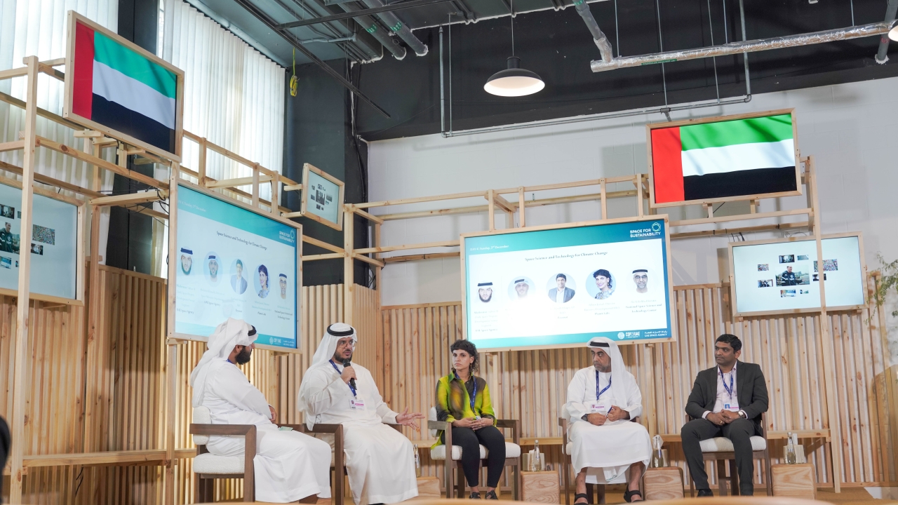
The UAE Space Agency has launched the operational phase of Geo-Spatial Analytics Platform. Image: UAE Space Agency
It was launched on the side-lines of its initiatives in organising the Space Pavilion’s first participation at COP28.
The platform will include three key services: facilitation an access to satellite imagery from international space agencies and a number of world-leading private companies, offering Artificial Intelligence (AI)-based algorithms to generate analytics reports, and a market-place for space applications and AI Space-Based Models. These services will help to attract leading innovators, accelerate the development process of space products, and contribute to the diversification of the UAE's economy.
Salem Butti Al Qubaisi, director-general of UAE Space Agency, said: “The operational phase of the Geo-Spatial Analytics Platform is a significant strategic step towards strengthening the UAE’s position as a major player in the global space industry and supporting sustainability. The platform will certainly contribute to improving our understanding of Earth and climate changes, and developing scientific and technological capabilities to combat these changes.”
Al Qubaisi added: “By providing accurate and comprehensive space data to scientists and institutions, this platform will enhance efforts to face global challenges such as climate change and natural disasters. This reflects the UAE’s commitment towards innovation and leadership in space exploration, and consolidating its position as a hub for scientific and technological excellence in the region and the world.”
Ibrahim Hamza Al Qasim, deputy director-general of UAE Space Agency, said: “The Geo-Spatial Analytics Platform will offer major technical development in the field of remote sensing and Earth observation, as it is distinguished by its ability to provide direct and rapid access to satellite data, which opens new horizons for scientists, researchers, and public and private institutions.”
Al Qasim added: “It will also contribute to developing innovative solutions to meet national and global challenges more efficiently, such as monitoring climate change, managing natural resources, and responding to natural disasters, by facilitating analyses and forecasts based on accurate satellite data, to create early warning systems and enhance rapid response.”
Meanwhile, the UAE Space Agency signed a Memorandum of Understanding (MoU) with the Maldives, to form the basis for bilateral cooperation aimed at benefiting from the Geo-Spatial Analytics Platform’s services, to build an atlas of loss and damage for the Maldives. The MoU aims to enhance its capabilities in analysing and forecasting challenges related to climate change and natural disasters.
The Geo-Spatial Analytics Platform is one of the projects of the Space Data Center, which aims aims to provide scientists, researchers, public and private entities, startups, and community members with access to satellite data to develop solutions for national and global challenges through space applications and value-added services (VAS).
Stay up to date
Subscribe to the free Times Aerospace newsletter and receive the latest content every week. We'll never share your email address.